Extensive agriculture has been shown to be unsustainable, expensive, and unsuccessful in preventing and solving the looming global food crisis. When farmers see the negative effects of conventional farming methods on the environment, it motivates them to try something new, and when they use precision agricultural techniques, it eliminates many environmental and economic obstacles.
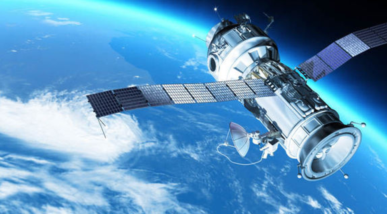
The use of satellite imaging in agriculture is not new; since the first satellite in NASA’s Landsat program began beaming back photographs in 1972, organizations have been making use of images from space to analyze land-use. Even yet, the use of satellite imagery wasn’t fully realized until recently . That was due in part to problems with the quality and consistency of these photographs, but also to the difficulty of incorporating this potentially useful information into the routine tasks of a normal farm.
When farmers analyze crops and soil through satellite, they may tailor fertilizer distribution accordingly. A planter may optimize product utilization and save costs by using data gleaned from processed satellite photographs of their field. Over-enrichment may lead to soil deterioration, which can be prevented by careful fertilizer application.
By using satellite technology into land management, farmers are able to assess the efficacy of various practices and improve upon those that show the greatest promise. Ecosystem health is bolstered by careful management practices including applying the right amount of water and fertilizer and fixing problems as soon as they arise.
The health of crops, the amount of water that is utilized, and the condition of the soil are just some of the features of agricultural land that can be monitored and analyzed via satellite photography. Farmers may use this information to make better educated choices about how to manage their property in a sustainable way with the use of this information . For instance, satellite images may be used to detect sections of a crop that may be suffering from drought or nutrient shortages. This enables farmers to more precisely focus their efforts to irrigate and fertilize the field.
Imagery from satellites may also be used to monitor the health of crops throughout time. This gives farmers the ability to take preventative measures as soon as any issues are identified. In addition, satellite images may be used to determine the locations on farms that would benefit most from using environmentally conscious farming methods such as conservation tillage or cover cropping. Farmers may improve their production and efficiency while also lowering the amount of damage they do to the environment if they use satellite images to help them practice sustainable agriculture.
Increasing agricultural output in low-income nations while mitigating unintended consequences requires the creation and widespread adoption of environmentally responsible techniques. Rigorous adoption/impact assessments give essential insights to increase the capability of agricultural research-for-development (R4D) systems in this setting. Most standard evaluations depend entirely on data collected from surveys of farm households . Generation of survey data unfortunately needs great financial and human capacity, and the process typically overlooks key crucial explanatory factors, ignores the longer-term implications, and suffers from measurement errors. Therefore, the judgements are made more thorough and solid by looking at other data sources.